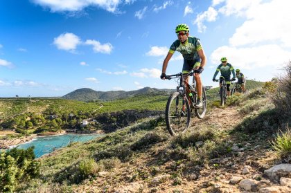
This circular route starts in the wonderful valley of Santa Agnès (Santa Inés in Castilian Spanish) which lies to the North of San Antonio and takes in sheer cliffs, mountain views and fertile valleys of vines. The route is signposted for 75% of the way.
Santa Agnès > Es Broll
Leave from in front of the old church of Santa Agnès via the road that borders the cemetery, follow the path until you reach the road between Santa Gertrudis and Santa Agnès. Continue along and turn first left then look out for a sign on the right titled "Es Broll" take this road down into the valley. This pretty area was the first on the island to be settled by Arabs and you can still see the irrigation system to take water to the cultivated terraces, it's still in use today.
Es Broll > San Mateo
Continue through the valley on the road heading towards the village of San Mateo. Follow the road through a small forest and past a number of white-washed fincas (farmhouses) and fields until you reach the junction of the Santa Gertrudis to San Mateo road. Turn left towards tiny San Mateo. This straight road runs through beautiful countryside and takes you right up to the door of the village church. You have now reached the valley of San Mateo.
San Mateo > Cala Aubarca
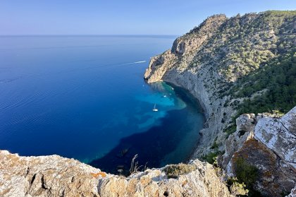
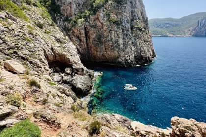
Continue back on the road marked "D'es Pla de San Mateo" in the direction of Cala Aubarca. You're now in the major wine area of Ibiza and along this road you'll pass between the vineyards belonging to Sa Cova and Can Maymo (both available in supermarkets). Keep an eye out for the sign "Cala Aubarca" on the right. Take this dirt road and continue along until you reach a natural viewing point where you can see the steep cliffs that flank the small bay of Cala Aubarca. It's a steep descent if you want to visit it but can be done if you feel you've time.
Cala Aubarca > Camp Vell
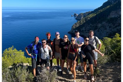
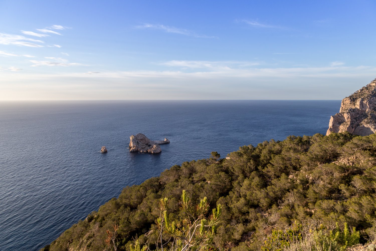
Re-trace your steps from the viewing point back along the same road. Turn right and about half a mile on your right you find a restaurant. The parking area, set in between some houses, denotes the point at which the hardest stretch of the route begins; the climb to one of the highest peaks in Ibiza, the Camp Vell. From here, at 401 meters, you get a spectacular panorama of the cliffs, whilst over to the South you can see the entire island with Formentera on the horizon.
Camp Vell > Santa Agnès
From the top of this track on Camp Vell we start the difficult descent to the town of Santa Agnès. Be sure to take care as the road becomes quite rugged and the gaps are pronounced in some sections. About half way down you'll come across spectacular views of Cala D'en Sardina. From here follow the track taking the first fork to the right until you reach the road that junction to the San Mateo to Santa Agnès road. Turn right and continue until you reach Santa Agnès once again.
Technical data
- Distance > 18.8 km
- Duration > 2 to 2 ½ hours
- Difficulty > Medium
- Height Difference +/- > 465 m / 442 m
- Type of Route > Circular
Places of interest
- Church of Santa Agnès (Santa Inés)
- Es Broll
- Church San Mateo
- Cala Aubarca (small cove)
- Es Camp Vell
- Vineyard Sa Cova
- Vinyard Can Maymo